Murujuga (Burrup) Peninsula near Karratha
Murujuga National Park location in Western Australia
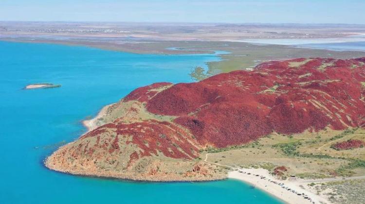
Aerial view of Murujuga (Burrup) Peninsula
Murujuga National Park location in Western Australia
Aerial view of Murujuga (Burrup) Peninsula
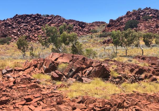
One of many rocky outcrops
Kangaroo petroglyph
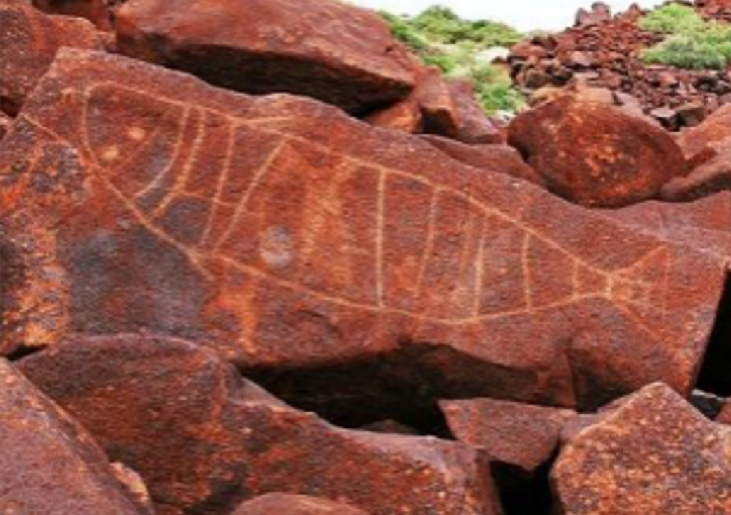
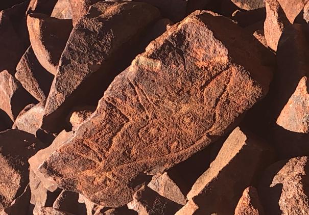
Fish petroglyph
MRAMP is overseen by the Murujuga Aboriginal Corporation (MAC) and Western Australia’s Department of Water and Environmental Regulation (DWER). The project team includes:
The purpose of MRAMP is to monitor, evaluate, and report on the changes and trends in the integrity or condition of the rock art and whether the rock art is subject to accelerated change.
Western Australia's Burrup Strategic Industrial Area
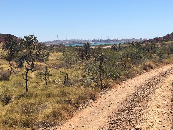
(Photo taken from Murujuga National Park)
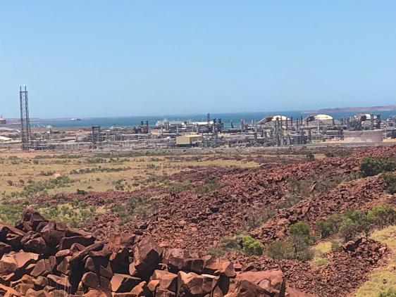
Liquid natural gas plant in the vicinity of the natural landscape of Murujuga
MRAMP is designed to determine whether anthropogenic emissions are accelerating the natural weathering/alteration/degradation of the rock art.
Fieldwork and laboratory measurements are key, as is their statistical analysis.
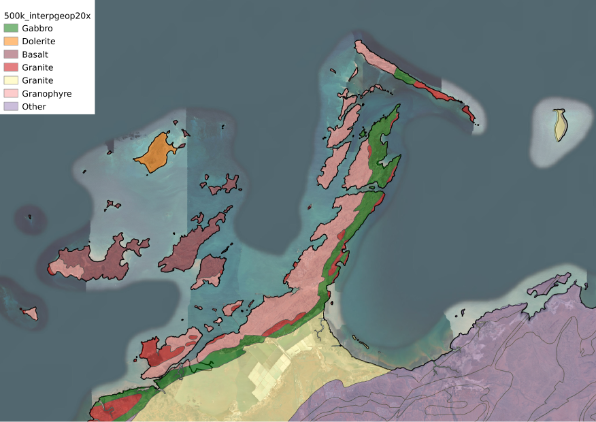
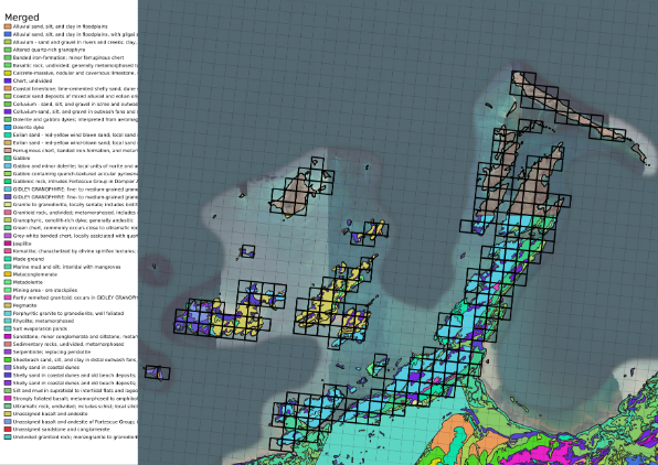
Rock types on the Murujuga Peninsula
Air-quality sampling frame
"Red Dog" rest stop near Dampier (large port near mining town of Karratha)
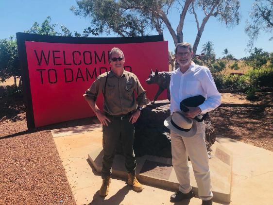
Adrian Baddeley and Noel Cressie
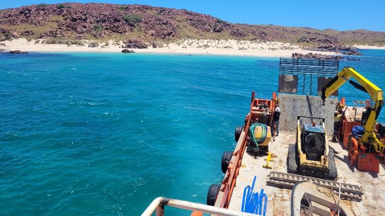
Delivery of air-quality monitoring station
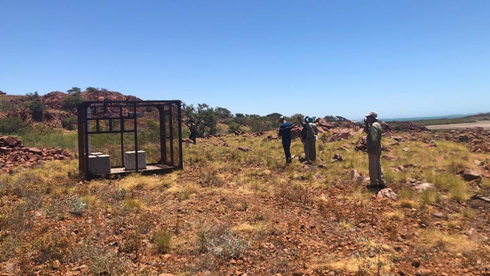
Not yet instrumented
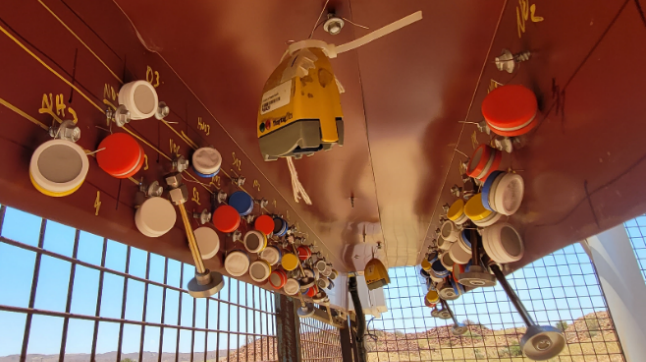
Instruments installed